Russia’s vast expanse is graced by some of the world’s most remarkable rivers, each contributing uniquely to the nation’s geography, culture, and economy. Among these, the Volga River stands out not only as Europe’s longest river but also as a lifeline for trade and cultural heritage. The Lena River, with its extraordinary rock formations and diverse ecosystems, offers a demonstration of the country’s ecological richness. Meanwhile, the Yenisei River’s breathtaking landscapes and support for indigenous communities highlight its significance. These rivers, along with others like the Amur and Ob, form an intricate network that has shaped Russia’s historical and environmental narrative in profound ways.
Volga River
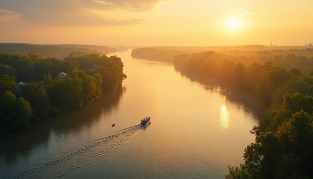
The Volga River, often referred to as the lifeline of Russia, stands as the longest river in Europe, stretching approximately 3,530 kilometers. The river’s extensive reach through the Russian landscape has been essential to both Volga history and Volga culture.
Originating in the Valdai Hills, the river traverses a diverse array of ecosystems before emptying into the Caspian Sea.
Historically, the Volga River has been significant for trade routes and military campaigns, acting as a conduit for the movement of goods and armies. The river’s basin encompasses a population of over 60 million people, underscoring its importance in socio-economic development.
During the medieval period, the Volga served as a vital link between the Varangians and the Byzantine Empire, facilitating cultural and economic exchanges.
Volga culture is deeply intertwined with the river’s presence. The riverbanks are home to numerous cities, including Volgograd and Kazan, which have developed unique cultural identities influenced by their proximity to the Volga.
The river also holds immense cultural symbolism in Russian folklore and literature, often depicted as a nurturing mother figure. This cultural heritage continues to shape the regional identity and traditions of the communities along its course.
Lena River
Originating in the Baikal Mountains of Siberia, Lena River ranks as one of the longest rivers in the world, stretching over 4,400 kilometers. This extensive fluvial system traverses a diverse array of Lena landscapes, ranging from the mountainous terrain of its source to expansive taiga forests, before ultimately discharging into the Arctic Ocean via the Laptev Sea.
The river’s basin encompasses approximately 2,490,000 square kilometers, making it one of the most important hydrological features in northeastern Russia.
From a hydrological perspective, the Lena River exhibits notable seasonal variability. Spring and summer witness substantial increases in discharge due to snowmelt, which greatly influences the riverine ecosystems. The river’s floodplain is characterized by extensive wetlands, which serve as critical habitats for Lena wildlife.
Species such as the Siberian crane (Grus leucogeranus) and various fish, including the Arctic lamprey (Lethenteron camtschaticum), find sustenance and breeding grounds within these biodiverse environments.
In terms of geomorphology, the Lena River is renowned for its striking Lena Pillars, a series of towering rock formations that rise dramatically along the riverbanks. These natural monuments, formed over millions of years, contribute to the unique Lena landscapes, offering invaluable insights into the region’s geological history.
Yenisei River
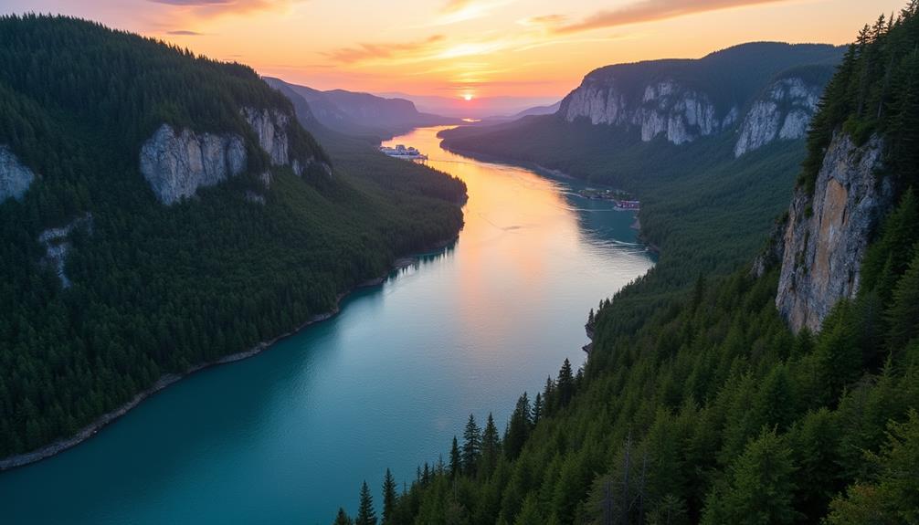
Flowing through the heart of Siberia, the Yenisei River stands as one of Russia’s most significant hydrological arteries, extending approximately 3,487 kilometers from its headwaters in Mongolia to its mouth in the Arctic Ocean’s Kara Sea.
The Yenisei ecosystems are an essential part of the region’s biodiversity, hosting a variety of flora and fauna, including key species such as the Siberian sturgeon and freshwater seals. Its basin, which covers over 2.5 million square kilometers, is fundamental for both ecological balance and water resource management.
The Yenisei history is steeped in cultural and economic importance. Historically, it served as a major transportation route for traders and explorers during the Russian Empire, enhancing cultural exchanges and economic development in Siberia.
Yenisei tourism has grown, driven by the river’s majestic landscapes and opportunities for eco-tourism, including river cruises and wildlife observation.
Yenisei wildlife is diverse, with numerous endemic species, making it a focal point for conservation efforts. The river supports various fish species essential to local diets and economies.
Yenisei culture is equally rich, with indigenous communities, such as the Evenk and Ket people, maintaining traditional lifestyles closely tied to the river’s resources.
Amur River
As one examines the hydrological marvels of Russia, attention inevitably shifts from the Yenisei to the Amur River, a geographical and ecological powerhouse. Spanning 2,824 kilometers, the Amur River forms a natural boundary between the Russian Far East and Northeastern China. This river is a critical component of the region’s hydrology and supports an exceptionally diverse range of Amur wildlife, including the endangered Amur tiger and a plethora of fish species.
The Amur River’s history is rich and multifaceted, marked by its role as a historical trade route and a focal point during Russo-Chinese negotiations. These events have notably influenced Amur culture, blending Russian and Chinese traditions in the surrounding towns and villages.
From an economic perspective, the Amur River plays a pivotal role in regional development. It supports fisheries, agriculture, and transportation, thereby bolstering the local Amur economy.
Additionally, Amur tourism has seen a rise, attracting visitors keen on exploring its natural beauty and historical significance.
Ob River
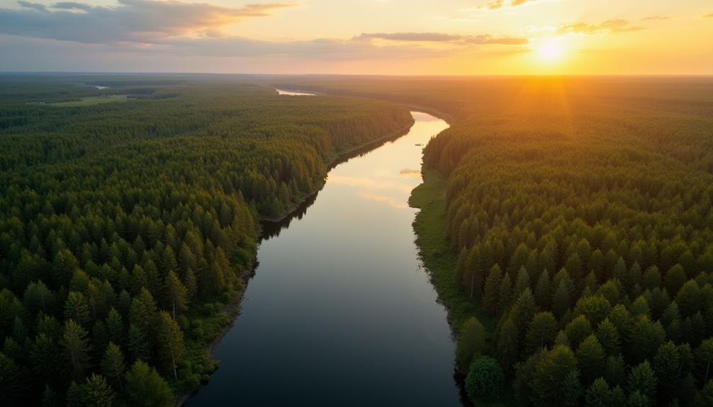
The Ob River, one of the significant hydrological systems in Russia, stretches approximately 3,650 kilometers, making it the seventh longest river in the world. This extensive river system boasts remarkable geographical features, beginning in the Altai Mountains and flowing northward into the Arctic Ocean. Its basin covers an area of roughly 2,990,000 square kilometers, providing essential habitats for diverse regional wildlife, including species such as the Siberian sturgeon and the Eurasian beaver.
Ecologically, the Ob River plays a key role in maintaining the biodiversity of Western Siberia. Its floodplains and wetlands act as important breeding grounds for numerous avian species.
The river’s cultural significance is equally profound, serving as a lifeline for indigenous communities such as the Khanty and Mansi, who have relied on its resources for centuries.
Historically, the Ob River facilitated important trade routes during the Russian Empire, enhancing regional connectivity and economic development.
Today, the river offers ample tourism opportunities, attracting visitors with its scenic landscapes and unique ecosystems. In addition, ongoing efforts to preserve the ecological integrity of the Ob River underscore its importance as a natural asset, indispensable for both human and environmental health.
Don River
Spanning approximately 1,870 kilometers, the Don River stands as one of Russia’s prominent waterways, playing an essential role in the hydrological and economic landscape of the region. Originating in the Central Russian Upland, the river’s extensive tributary systems, including the Seversky Donets, contribute notably to its voluminous flow and expansive basin, which covers approximately 422,000 square kilometers.
The historical significance of the Don River is well-documented, serving as a critical artery for trade and military campaigns throughout Russian history. Its banks have witnessed numerous cultural developments, influencing the heritage and traditions of the communities along its course.
Ecologically, the Don River supports a diverse array of flora and fauna, fostering rich biodiversity within its riparian zones. This ecological diversity is vital for maintaining the environmental health of the region.
Economically, the Don River is integral to regional commerce, facilitating transportation and trade. The river’s navigable stretches and scenic routes enhance its value for tourism, providing picturesque vistas and recreational opportunities.
Dnieper River
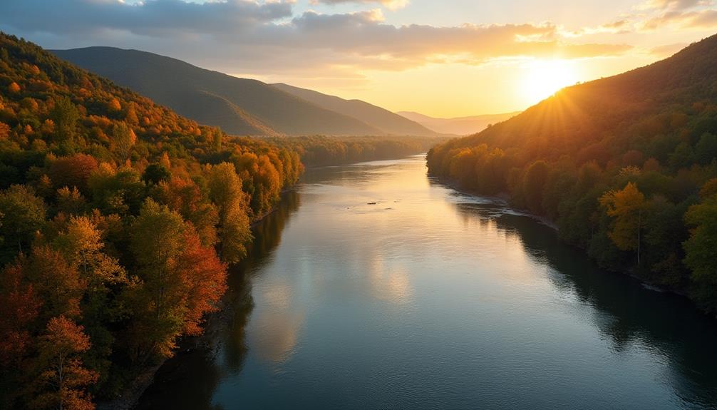
Following our exploration of the Don River, attention now turns to the Dnieper River, another important watercourse in Russia. Originating in the Valdai Hills near Smolensk, the Dnieper River extends approximately 2,200 kilometers, flowing through Russia, Belarus, and Ukraine before emptying into the Black Sea.
Analyzing Dnieper history reveals its role as a crucial trade route for ancient civilizations, including the Kievan Rus, which utilized its waters for economic and cultural exchanges.
The Dnieper geography encompasses diverse landscapes, including forests, wetlands, and urban areas, influencing both human settlement and natural ecosystems.
The Dnieper economy benefits greatly from the river, supporting industries such as agriculture, fishing, and energy production through numerous hydroelectric dams.
Concurrently, the Dnieper culture reflects a rich tapestry of traditions influenced by the various ethnic groups residing along its banks.
Dnieper wildlife is remarkably diverse, with habitats supporting species like sturgeon, pike, and numerous avian populations. The region’s ecological significance is underscored by conservation efforts to maintain biodiversity.
Dnieper tourism is flourishing, attracting visitors for recreational activities such as boating, fishing, and historical tours.
The river’s multifaceted importance underscores its enduring relevance within the socio-economic and environmental fabric of the region.
Russia’s impressive rivers, including the Volga, Lena, Yenisei, Amur, Ob, Don, and Dnieper, are fundamental in shaping the nation’s natural, economic, and cultural landscapes. These waterways facilitate important trade routes, support diverse ecosystems, and sustain indigenous communities. The ecological diversity and historical significance of these rivers underscore their integral role in Russia’s development and identity.

